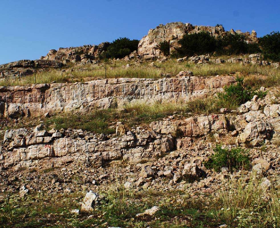
Our Geopark area is an eroded plateau with a protracted geological history, that begun in the Late Neoproterozoic. The Geopark territory includes two main geotectonic units, the Moesian Platform to the South, and the Cimmerian Orogen of North Dobrogea to the North, separated by a major crustal fault. Both these units are unconformably overlain by Late Cretaceous shallow marne clastics, connected to the formation of the West Black Sea Basin. In the Geopark area, the Ediacaran basement of the Moesian Platform consists largely of turbidites, with well preserved sedimentary and sometimes biogenic structures. By contrast, the Cimmerian belt shows a very complex geology and structure, with its Variscan roots exposed in the cores of Triassic anticlines.
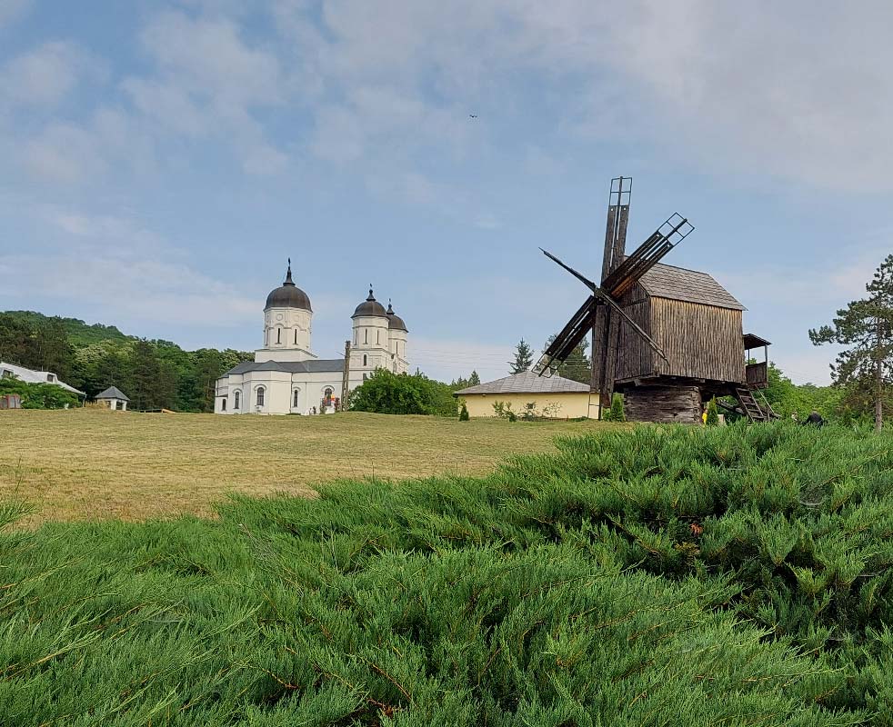
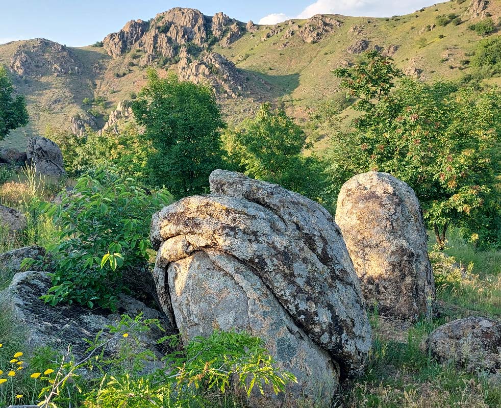
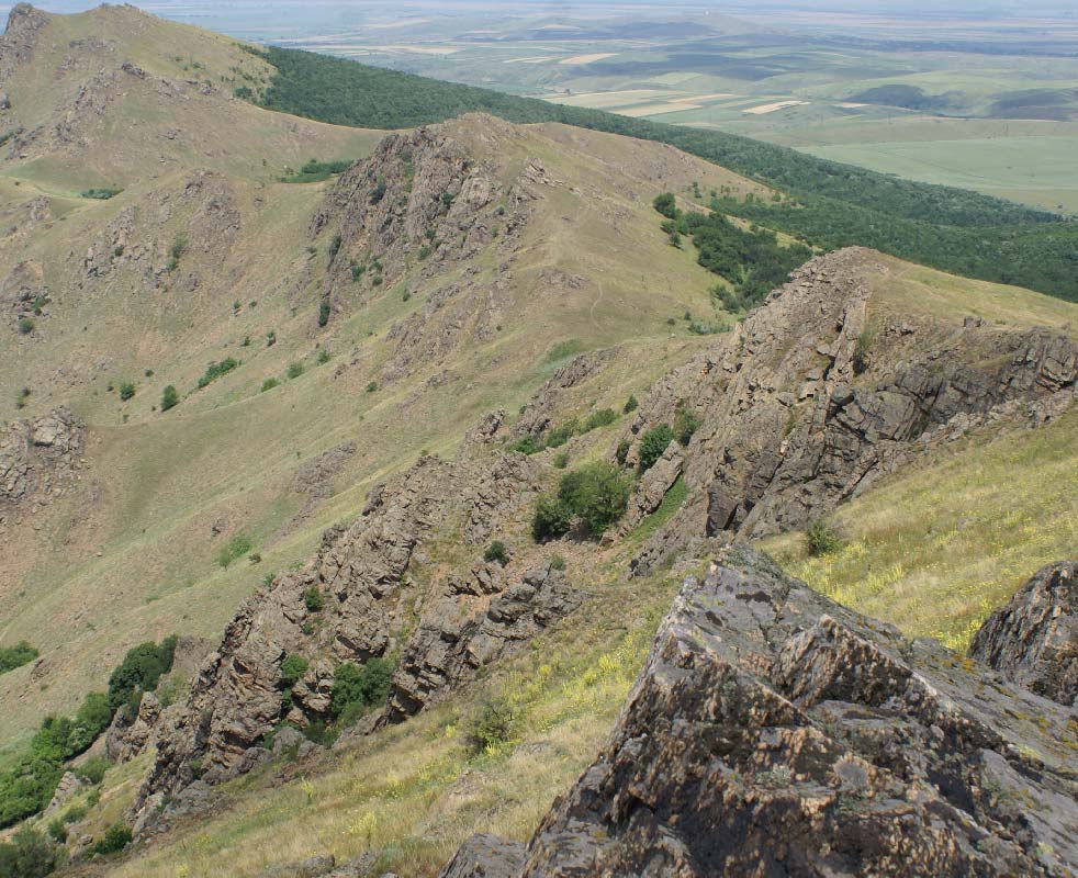
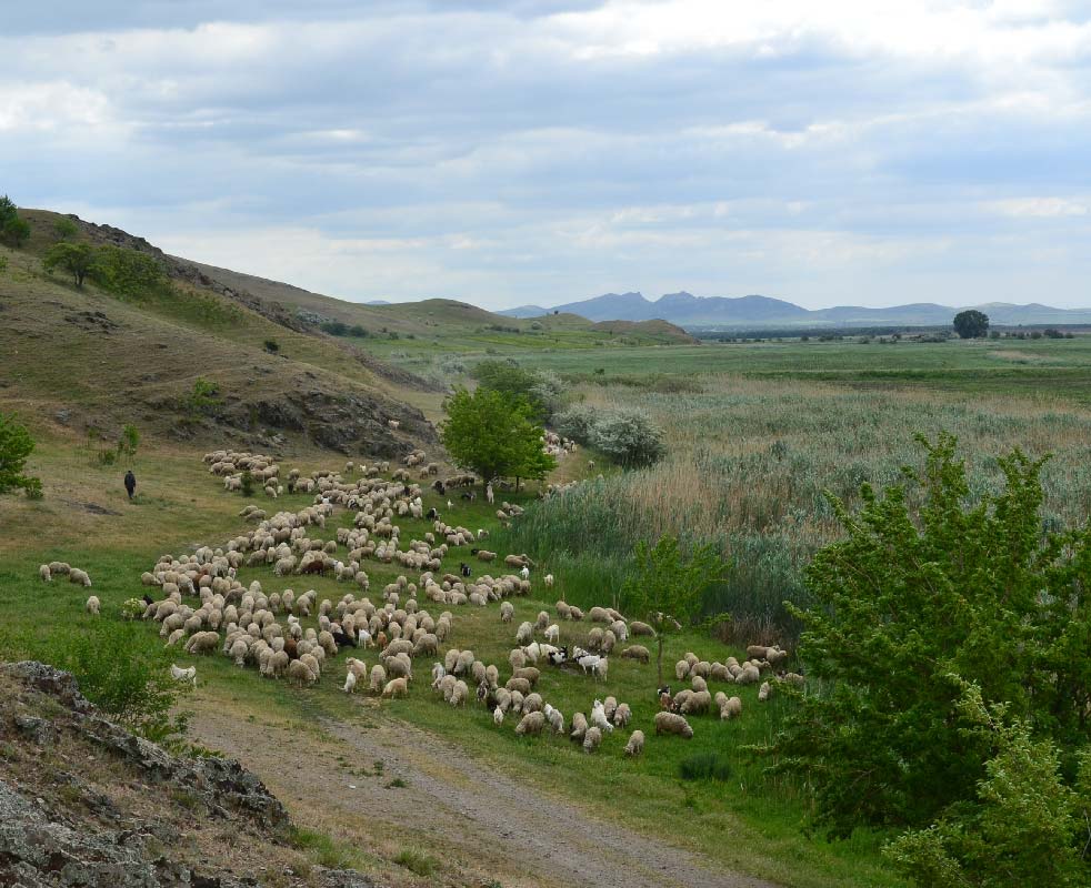
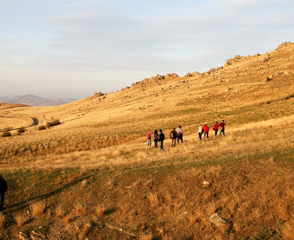
The landscape of Dobrogea is very picturesque, with low altitude hills, isolated or forming elongated ridges. Many of them are covered in steppe vegetation, but there are also large areas topped by forests. The biodiversity is extremely rich, with habitats and species included in a network of 10 Natura 2000 sites, and 29 nature reserves, one of them a national park. The Geopark territory is mainly rural, and despite the increasing number of modern constructions, traditional houses, stone fences and old fountains are still preserved in some villages. Older monasteries are hidden in the woods, and a large number of churches of various religious cults are historical monuments. Archaeological sites are found everywhere, proof of human habitation in the area since the Paleolithic. The most important of these sites are fortresses and fortifications of the Moesian Limes, the fortified border of the Roman Empire along the Danube.
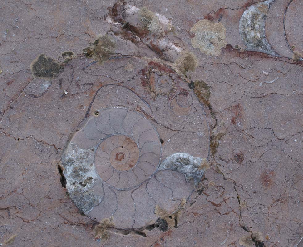
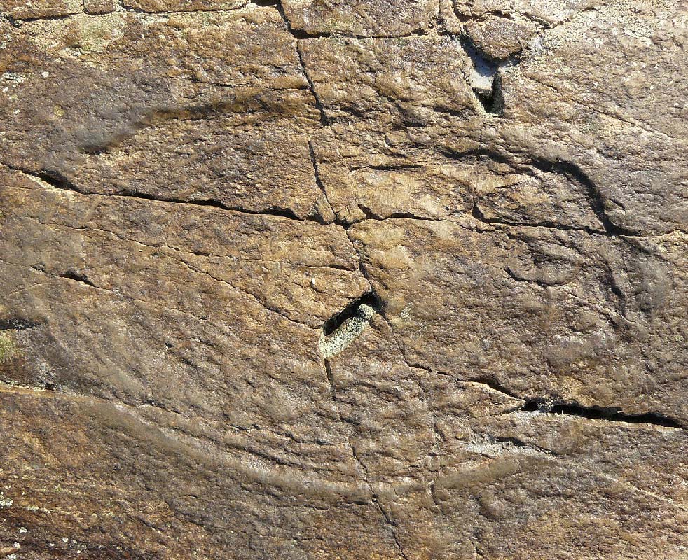
Ammonites, found in Mesozoic deposits from Triassic to Late Cretaceous, are the most iconic fossils in the Geopark area. They occur together with bivalves, brachiopods, echinoderms, foraminifera, conodons and ostracods. The biostratigraphy of the Triassic is based on ammonite and conodont zones. The geological significance of ammonites is known since the XIXth century, when the extremely rich Triassic ammonoid fauna from Aghighiol was studied, resulting in two monographs published in the beginning of the XXth century by Ernst Kittl and Ion Simionescu. More recent studies of Triassic ammonoid specimens from Deşli Caira Hill revealed that this is one of the most representative sections in the world to define the base of the Anisian stage. Currently, an international team of scientists are working to propose Deşli Caira as the Global Boundary Stratotype Section and Point (GSSP) of the Olenekian-Anisian boundary.